Ha. Try being me.
I live at the bottom of the Inishowen Peninsula, which runs up the side of the Foyle, separates Donegal from Derry. (notice it's designation on the map. Londonderry Derry....for anyone who's not familiar with why that is, the protestant name for it is Londonderry but the catholic people object to the London bit and to avoid causing offence if you're neutral, you have to call it Londonderryderry. Or Derrylondonderry ... at which point the Irishman will probably tell you the right way it should be called.....ffs unless he's British.
View attachment 26509
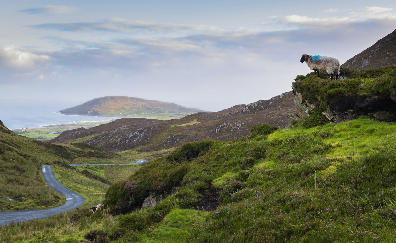
Spectacular it may be, but the only civilised road runs round the bottom of the jaggedy bit. North of that it about 70km of this.
Postcodes only came in here a couple of years ago and nobody uses them. There's no signal up that way anyway for Satnav, and not a roadsign to be had anywhere so we have converstations like this.
'Do ye know Buncrana?'
'Not really, but I'll find it'
'Aye right, well, ye come in as though you were goin out because ye can't see it the on the way in, but by the auld prayer stone'
'The wat?'
'The prayer stone just outside Buncrana on the way in but from the North when you're going out'
'What's a prayer stone?'
'It's by Saint Teresa's church. It's for praying'
'I'm English.'
'Aye I know, that's why I'm having such a hard time understanding ye.'
'But I don't know what a praying stone is.'
'Well never mind, there's a farm a bit further on. Patrick McNalty's place. He's a red car outside it usually.'
'Would it be easier to find the church?
'No, that's not there any more. It's just the stone now.'
'So I'm looking for Patrick McNaltiy's red car?'
'Sure no. If ye see that, ye've gone wrong.'


